Survey-Grade Data Collection Using Advanced Photogrammetry
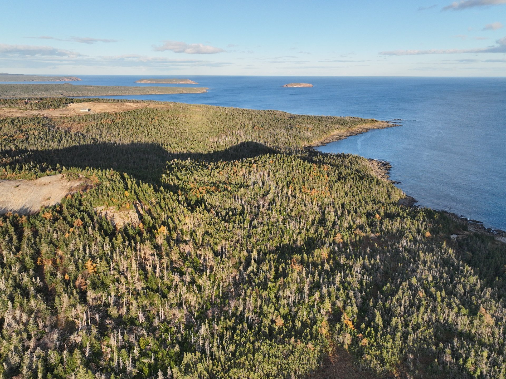
North Atlantic Drone specializes in cost-effective drone-based services for construction, mining, agriculture, and environmental management
With direct experience in mining and heavy civil construction, we deliver more than just drone footage - we provide actionable data that helps you make better project decisions. Our survey-grade accuracy and industry expertise mean you get results you can trust.
Professional Drone Mapping Services in Newfoundland & Labrador
Services
GPS (RTK) Layout and Asbuilt
2D High Resolution Mapping
3D High Quality Model Recreation
RTK Assisted Repeatable High Resolution Industrial & Civil Inspection in Complex Environnement
Construction Site Monitoring
Quarry Monthly and Quarterly Volume Calculation and Report
Full Topo survey, Terrain modification, surface creation, Layout and Asbuilt
Geodnet Base Station Installation
Data processing and AI Model Training Via Octaspace or Locally
2D Mapping and 3D Reconstruction
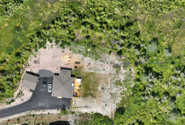
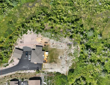
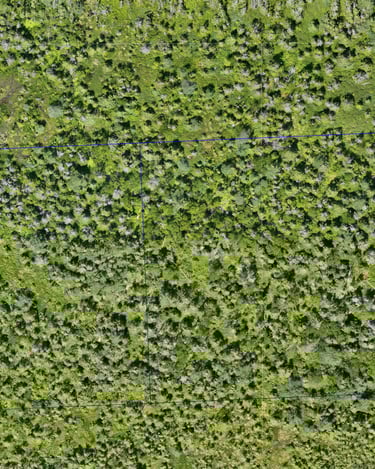
High-resolution mapping down to 1cm/pixel accuracy and centimeter precision.
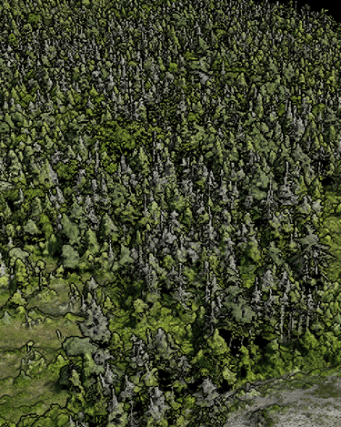
Perfect for monitoring construction sites, agricultural fields, and property development projects.
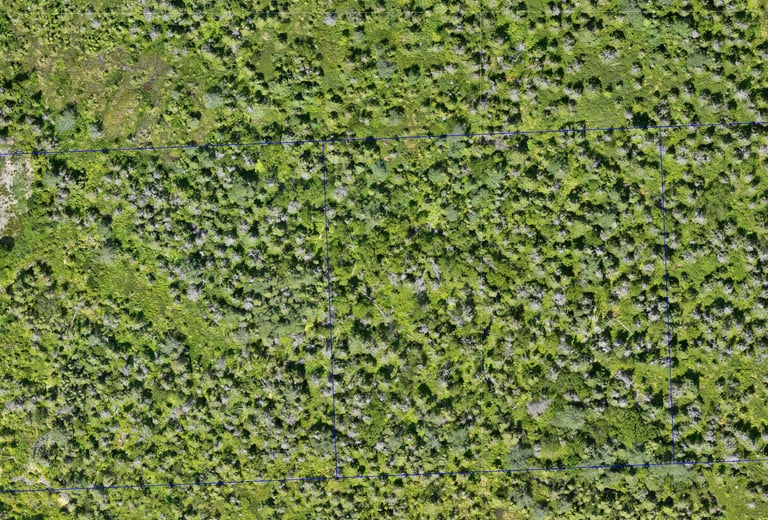
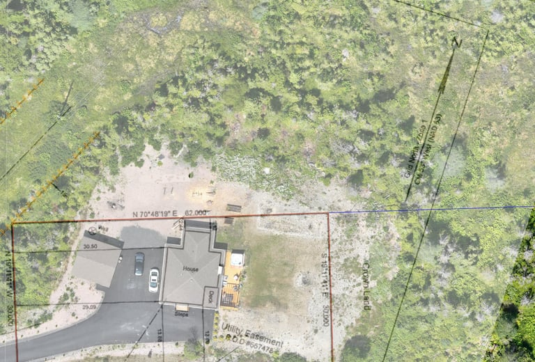
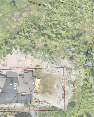
An accurate overlay of your Land Real Property report can even be applied for better viewing of your land and future projects.
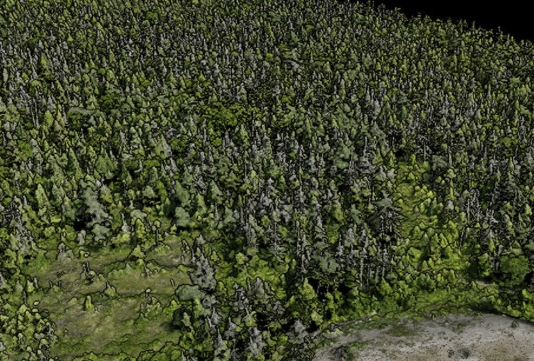
3D point clouds allow for the creating of
Designs (Infrastructure, Land development, Road)
Cut / Fill calculation (Irrigation)
Area calculation
Material Tracking
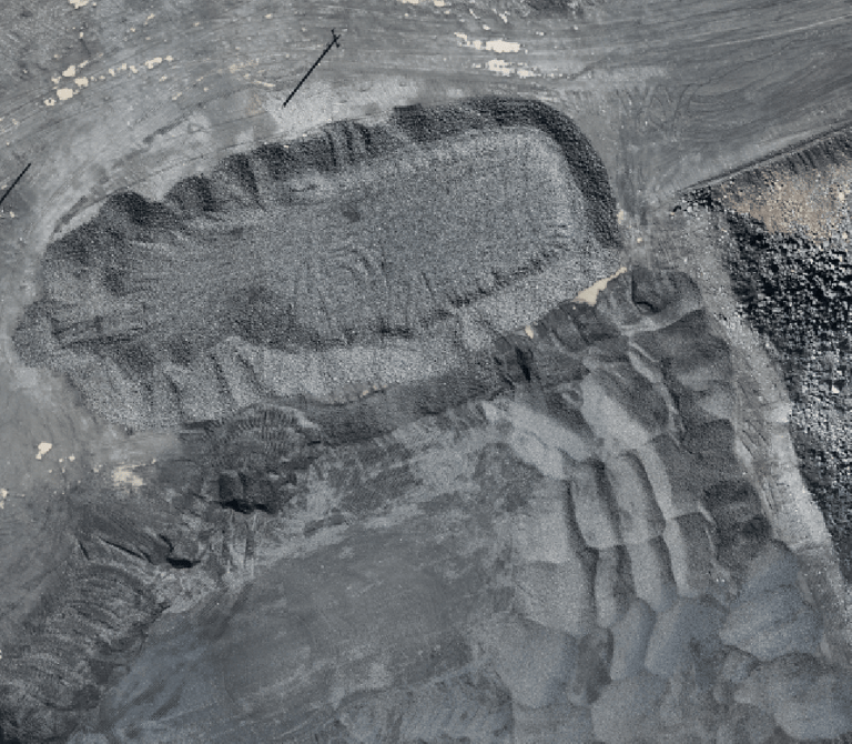
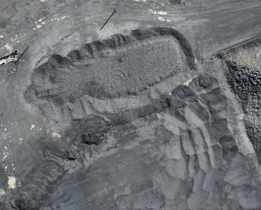
Full 2D mapping of your Quarry.
Boundary overlay can also be added
Pre-Job Inspection or Contract
Repeatable Infrastructure pictures from the exact same angle and position of key area every time.
Detailed Inspections
Quarry Volume Calculation & Tracking
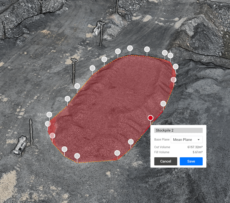
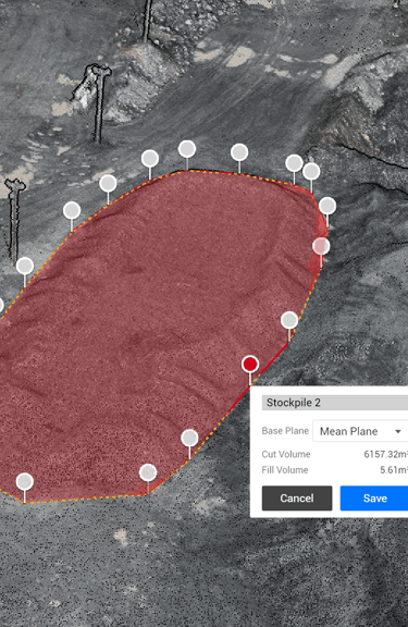
Volume calculations include detailed reports
Month-to-month consumption tracking
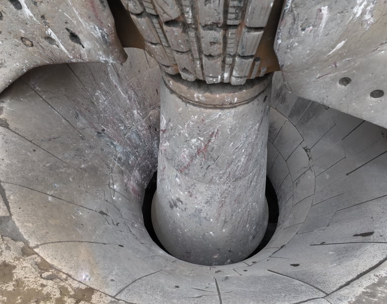
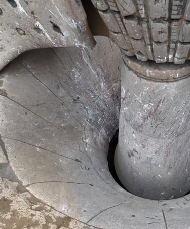
High Resolution Pictures of what you need to see but can't access with ease.
This is a perfect exemple of a rapid visual inspection to keep track of the wear of a crusher mantle with little to no effect on operation.
100 pictures were snapped from all angle in less than 5min