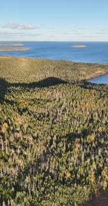
Photogrammetry
Pictures coming alive
Survey Grade Georeferenced topo
2D orthomosaic
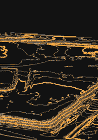
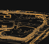
2D Topographic map with contours
3D Point cloud
3D mesh for Photorealistic 3D model
Digital surface model
Grid of points
Feature polyline and much more.
Area
Volume
Cut & Fill
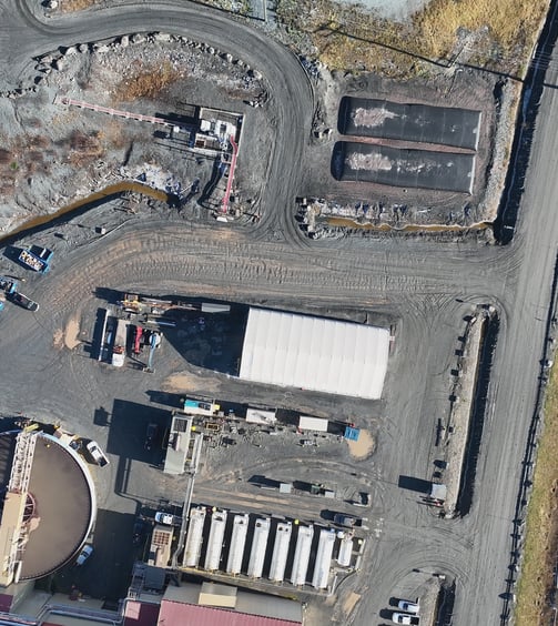
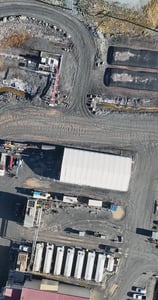

Precision Drone Services
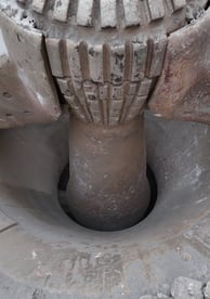
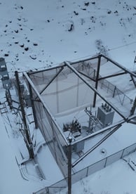
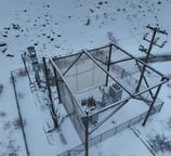
Visual Inspection
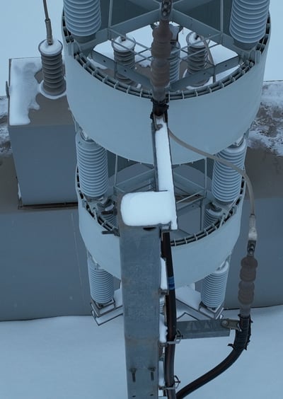
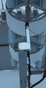

Georeferenced visual inspections
Pictures from the exact same position and angle every time.
Ease of access to hard to reach places.
Route following (Road. Rail, Powerline, or pipeline)
High resolution image
Roof inspection - Thermal Infrared option available
Power generation infrastructure
Civil Infrastructure
Mining infrastructure
Field and crop analysis - Multispectral camera
Aerial Pictures
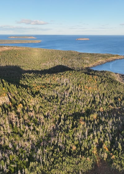
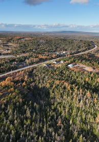
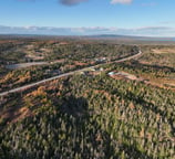
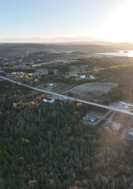
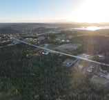
Simple pictures or Videos from the air
Construction site progress tracking
Equipment yard
Promotion
Real Estate
Events